Multi-Layered Data Tools Aid Federal Climate Change Efforts
Robust data portals are providing real-time intelligence to support informed decision-making and provide equitable services.

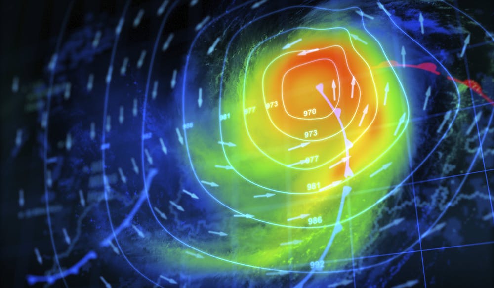
The National Oceanic and Atmospheric Administration (NOAA) is using multi-layered environmental intelligence through data visualization tools to help combat climate change.
“We believe, in NOAA, that what we really are in the business of is environmental intelligence, that piece of derived knowledge from data, working multiple pieces of data or layers in the [geographic information systems (GIS)] definition, to help to get to a solution,” said NOAA Under Secretary of Commerce for Oceans and Atmosphere Richard Spinrad, during a virtual conference Tuesday.
Spinrad joined other officials including GIS tech leader Esri and the U.K.’s Meteorological Office to describe the current climate concerns as an “existential challenge” that requires ongoing development of sophisticated data tools to understand what communities are facing globally.
“It’s about bringing science into the White House and also onto the Hill so that appropriate decisions can be made that are guided by geography,” said Esri Founder and President Jack Dangermond at the event.
Tackling the climate crisis is among the White House’s top initiatives. In 2022, President Biden’s bipartisan $1.3 trillion funding invested nearly $44 billion into climate initiatives that link science to action. But in order to tackle climate change at the national level, Spinrad said developing authoritative data is essential.
“It doesn’t matter how good the data are, how authoritative they are, how high quality the product is — if we don’t have a way to get it in the hands of the decision-maker in a form that they understand, and not force them to speak our language, but actually provide [data] to them in a way that they can make decisions,” Spinrad said.
Elsewhere, the U.K.’s Met Office launched a climate data portal that applies GIS tools to climate change and ensures data is provided at every level.
“[The portal] allows the users of those portals to pull that information together, understand what it means for their local authority, inform their adaptation, adaptation plans, and also extract that information into more portable formats than to be used elsewhere,” said the office’s CTO Richard Bevan during the event.
Most importantly, the portal provides real-time data of key climate issues the nation is facing right now, including wildfire, flooding, drought, heat, health and coastal resilience. Similarly, NOAA’s Climate Change Portal developed by the NOAA Physical Sciences Laboratory has provided critical insight to the Intergovernmental Panel on Climate Change (IPCC), the United Nations body for assessing science related to climate change.
“This tool already is proving to be an extraordinarily valuable way of making decisions,” Spinrad added.
These types of portals allow users to download datasets in a variety of forms for government and the community.
“We definitely see organizations wanting to take action to build plans in terms of response and adaptation to climate change,” Bevan said. “It’s really critical for us that we’ve got our data out there to inform those decisions and to make sure that those organizations are really taking the best data they possibly can, in terms of that analysis, and to inform those decisions.”
The data tool also can provide officials with more understanding of underserved communities, which can help fulfill one of the government’s top goals of making public services more equitable.
“In some of the current hazards, there was a specific census tract focus on where are the underserved communities. Similarly, we can do a tribal layer on this, to attend to the issues of what are the concerns about some of the tribal nations,” Spinrad said. “There are some layers that we’re building right now working with [the Census Bureau] on not just demographics, but also socioeconomic layers.”
Experts say the climate change challenge has to be faced with mitigation, adaptation and resilience. According to Dangermond, geography along with technology allows integration of a variety of sciences, ultimately creating one central ecosystem to understand and face the issue.
“It’s not enough just to measure this or measure that — it’s bringing it all together and seeing it in context,” Dangermond said. “This technology that might be driving our quest to deal with the climate change issues.”
This is a carousel with manually rotating slides. Use Next and Previous buttons to navigate or jump to a slide with the slide dots
-

CDC Celebrates Data Strategy Milestones, Eyes Future Goals
The agency is emphasizing interoperability as it works toward its data modernization goals for public health.
3m read -

CIA: Understanding Tech's Battlefield Potential Needs 'Humility'
Geopolitical hotspots are reshaping how government is approaching issues in innovation, technology and war.
4m read -

USPS Amid a Plan to Transform and Secure Mail Operations
CIO Pritha Mehra shares how the Postal Service is bringing its technology and systems up to date.
27m listen -

DHS, DOD Officials: AI is a Teammate, Not a Tool
AI can work alongside government by providing better information to humans for them to make real-time decisions.
5m read


